
Crowdsourcing and Interactive Modelling for Urban Flood Management
About this scientific article:
Participatory modelling has become a growing concept in environmental modelling, as it allows stakeholders to be involved in various stages of model development. The majority of studies, however, have focused on the participation during model use for scenario analysis and strategy evaluation after the model has been developed. Large-scale community mapping efforts create new opportunities to establish, detail and improve flood models at the development stage by working together with local stakeholders.
In this article, we propose a novel participatory modelling and mapping approach. It builds on the community mapping projects across the most vulnerable wards in Dar es Salaam, Tanzania, which uses OpenStreetMap as a data platform. The approach consists of community mapping, an automated flood inundation model development and facilitation of stakeholder involvement. The participation of stakeholders in data collection helped achieving a more accurate flood model. The participatory modelling approach made participants aware of the skills necessary to develop an urban flood model with OpenStreetMap, necessary for creating a resilient society. The level of improvement obtained through the applied participatory modelling and mapping approach demonstrates its value in hydrodynamic model development and its potential for application in data scarce areas prone to urban floods.
Connected to this scientific article:
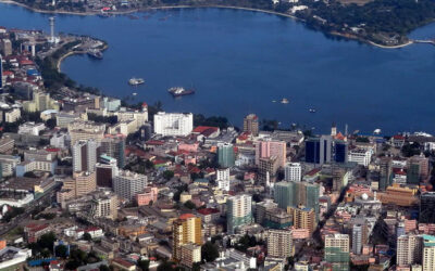
Community mapping for participatory flood modelling in Tanzania
Community mapping for participatory flood modelling in Tanzania Technical assistance combined open data, community mapping and participatory modelling to develop urban flood risk models for Dar es Salaam, Tanzania, strengthening local capacity and enabling more...
Authors
Eskedar T. Gebremedhin, Laura Basco-Carrera, Andreja Jonoski, Mark Iliffe, Hessel Winsemius
Citation
Gebremedhin ET, Basco-Carrera L, Jonoski A, Iliffe M, Winsemius H.
Crowdsourcing and interactive modelling for urban flood management. J Flood Risk Management. 2020; 13:e12602.
Keywords
Adaptive Planning
Disaster Risk Reduction
Flood Risk Management
Participatory modelling
Water Security
Stakeholder engagement
Crowdsourcing
Community mapping
Data scarcity
Tanzania
Connected to this scientific article:
Community mapping for participatory flood modelling in Tanzania
Community mapping for participatory flood modelling in Tanzania Technical assistance combined open data, community mapping and participatory modelling to develop urban flood risk models for Dar es Salaam, Tanzania, strengthening local capacity and enabling more...